Night Overlanding Navigation: Using Sensors and GPS When Visibility Drops to Zero
A field guide to navigating trails, desert washes, and backcountry roads after dark — using GPS tracking, compass bearings, altimeter readings, and inclinometer data when your eyes cannot be trusted.
When Your Eyes Stop Being Reliable
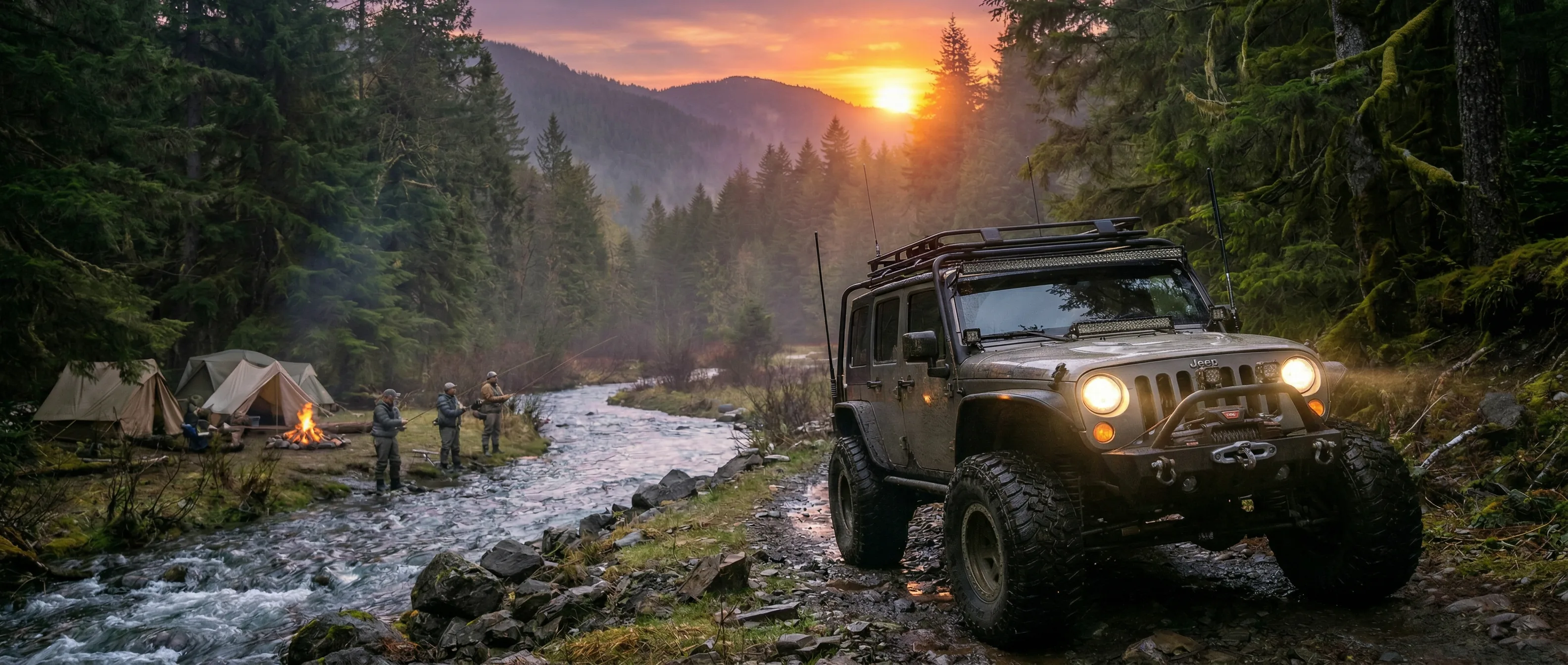
Daytime overlanding is a visual sport. You read the trail ahead — the ruts, the rocks, the grade changes, the forks — and make decisions based on what you see. Your eyes are the primary instrument, and they are remarkably good at it. But when the sun sets and you are still on the trail — whether by plan or by the miscalculation of distance that every overlander has made at least once — the game changes fundamentally. Headlights reveal only the immediate foreground. Peripheral terrain disappears into black. Elevation changes that were obvious in daylight become invisible gradients that you feel through the suspension rather than see through the windshield.
Night navigation on unpaved terrain is not dangerous by nature, but it demands a different skillset and different tools. The visual cues you rely on during the day — landmarks, terrain features, the shape of the trail ahead — are replaced by instrumental data: GPS coordinates confirming your position on the planned route, compass bearings verifying your heading when the trail is not obvious, altimeter readings confirming that you are ascending or descending as expected, and inclinometer angles warning you when the slope approaches the limits of your vehicle's capability.
DL Offroad's sensor suite was designed for exactly this transition. Its GNSS Tracker, Digital Compass, Altimeter, and Digital Inclinometer provide the instrumental data that replaces visual cues after dark. This guide covers the practical techniques for using these tools during night overlanding — not the theory of navigation, but the specific, actionable methods that keep you on route, on schedule, and safe when visibility drops to the range of your headlights.
Pre-Trip Preparation: Building Your Night Navigation Plan Before Sunset
The most important night navigation happens before dark. Every minute spent planning waypoints, noting critical decision points, and recording expected altitude profiles in daylight saves ten minutes of confusion and backtracking at night. The fundamental principle of night overlanding navigation is that you should never be making route decisions in the dark that you could have made in the light.
Before you leave pavement, open DL Offroad's GNSS Tracker and verify that you have a strong satellite fix. Note your starting coordinates and elevation. As you drive the trail during daylight hours, drop waypoints at every critical decision point: trail forks, gate crossings, water crossings, steep descents, and any landmark that will be invisible at night. Each waypoint becomes a checkpoint — a GPS coordinate that your phone can guide you to regardless of visibility. The more waypoints you set during daylight, the more confident your navigation will be after dark.
Record the altitude at each waypoint using the Altimeter. Altitude is an underappreciated night navigation tool. If your next waypoint is at 6,200 feet and you are currently at 6,450 feet, you know with certainty that you should be descending. If you are climbing instead, something is wrong — you have taken a wrong fork, missed a turn, or left the planned route. This altitude cross-check is especially valuable on trails with multiple switchbacks where the GPS track on a small phone screen can be ambiguous.
Finally, note the compass bearing between consecutive waypoints. If waypoint 3 is roughly northwest of waypoint 2, and your compass shows you heading southeast after passing waypoint 2, you are traveling the wrong direction. These bearing checks take seconds, require no map reading in the dark, and catch navigation errors immediately rather than after you have driven a mile in the wrong direction on a trail too narrow to turn around.
Every minute spent planning waypoints in daylight saves ten minutes of confusion at night. You should never be making route decisions in the dark that you could have made in the light.
GNSS/GPS Tracker
Record waypoints at every critical decision point during daylight — each becomes a GPS checkpoint you can navigate to regardless of visibility conditions.
Altimeter Baseline
Log altitude at each waypoint to create an elevation profile that serves as an independent cross-check against GPS position after dark.
Slope Awareness: The Inclinometer as a Safety Instrument
Steep grades that are obvious and manageable in daylight become genuinely dangerous at night because you cannot see the terrain's true angle. A descent that looks moderate in your headlights might be steeper than it appears — headlights projecting forward create the illusion of a gentler slope than the vehicle is actually on. Conversely, a climb that feels impossibly steep might be well within your vehicle's capability, but the lack of visual horizon reference amplifies the sensation of angle.
DL Offroad's Digital Inclinometer removes the guesswork. It displays the vehicle's pitch (forward-backward tilt) and roll (side-to-side tilt) in real time, measured by the phone's accelerometer and gyroscope. Before you commit to a descent or climb, stop at the top and check the inclinometer reading. If the pitch reading exceeds your vehicle's known capability — typically 25-35 degrees for stock 4WD vehicles, depending on tires, suspension, and weight distribution — you have objective grounds to stop and reconsider before the situation becomes irrecoverable.
Roll angle is equally important and even less perceptible in the dark. A trail with a cross-slope — one side higher than the other — can develop gradually, and at night you may not notice the increasing tilt until it approaches a dangerous level. The inclinometer displays roll angle continuously. Any sustained roll reading above 15 degrees warrants caution; above 20 degrees, you should stop and assess whether the trail improves ahead or whether backing up is the safer option. These thresholds are conservative and should be adjusted based on your specific vehicle's center of gravity and tire width, but they provide a starting framework for drivers who lack extensive experience with off-camber terrain.
Combine the inclinometer with the altimeter for complete slope intelligence. A steep descent that also shows a rapid altitude decrease on the altimeter confirms that you are on a significant grade, not just a short dip. A gradual altitude change with a high inclinometer reading means you are on a short but steep feature — a ledge, a washout, or a creek bank. The combination of angle and altitude change tells you the character of the terrain even when you cannot see it.
Headlights projecting forward create the illusion of a gentler slope than you are actually on. The inclinometer shows the real angle — the number your eyes cannot give you in the dark.
Digital Inclinometer
Real-time pitch and roll measurement provides objective slope data that replaces the visual horizon reference lost after sunset.
Altimeter Correlation
Combine angle readings with altitude change to understand terrain character — short ledges versus sustained grades — when the trail is invisible beyond headlight range.
Environmental Intelligence After Dark
Night overlanding introduces environmental variables that daytime driving rarely encounters. Temperature drops after sunset affect both the vehicle and the terrain. Dust suspended by daytime traffic settles, improving visibility on popular trails but also indicating that recent traffic has stopped — meaning you are less likely to encounter help if you get stuck. Dew and frost can form on rock surfaces, dramatically reducing traction on climbs and descents that were grippy in the afternoon sun.
DL Offroad's Environmental Dashboard and Luminescence Meter provide awareness of these changing conditions. The temperature reading from the Environmental Dashboard tracks ambient temperature changes as the night progresses. A rapid temperature drop — common in desert and high-altitude environments — signals frost risk on exposed rock surfaces. When the temperature reading approaches freezing, adjust your driving accordingly: reduce speed on descents, increase following distance, and avoid rock surfaces that may be developing a frost glaze.
The Luminescence Meter serves a different purpose at night: it quantifies the available ambient light. A moonlit night provides surprisingly good peripheral visibility — enough to see terrain features 50-100 feet beyond headlight range. A moonless, overcast night provides effectively zero ambient light, meaning your visual awareness is strictly limited to headlight range. The luminescence reading tells you how much you can trust your peripheral vision and how heavily you need to rely on instruments. On moonlit nights, you can drive with more confidence in your visual assessment. On zero-ambient-light nights, the instruments are not supplementary — they are primary.
The Barometric Pressure Monitor on the Environmental Dashboard adds weather prediction capability. A sustained pressure drop during your night drive indicates an approaching weather system. In mountain terrain, this means potential rain, reduced visibility, and trail surface degradation. In desert terrain, it often precedes wind events that can create dust conditions. Combining pressure trend data with temperature data gives you a practical weather forecast that helps you decide whether to continue, stop and camp, or turn around before conditions deteriorate.
Environmental Dashboard
Monitor temperature, pressure, and humidity trends through the night — conditions that affect traction, visibility, and trail surface quality.
Luminescence Meter
Quantify ambient light levels to calibrate how much to trust visual assessment versus instrumental navigation on any given night.
When Things Go Wrong: Night Recovery and Emergency Protocols
Even with excellent navigation and careful driving, night overlanding carries inherent risk. Getting stuck, losing the trail entirely, or encountering an impassable obstacle are realities that every experienced overlander has faced. The protocols for handling these situations at night differ from daytime because the primary risk is not the problem itself but the poor decisions that darkness and fatigue encourage.
If you lose the trail — you cannot identify the route ahead and your GPS shows you deviating from the planned track — stop. Do not attempt to find the trail by driving around. At night, exploratory driving off a known route is how people get seriously stuck or drive off terrain features they cannot see. Stop, check your GPS position, identify the last confirmed waypoint you passed, and carefully reverse back to it. The temptation to push forward — to assume the trail is just ahead, just around the next bend — is strong and almost always wrong when you have already lost it.
If you get stuck — wheels spinning, no traction, vehicle not moving — resist the immediate urge to gun the throttle. Check the inclinometer to understand your vehicle's current angle. Are you level, or are you on a slope that could worsen if the vehicle shifts? Check the altimeter to confirm your altitude matches expectations — this tells you whether you are still on the trail or have wandered off it. Use DL Offroad's GPX Track Export to save your exact position. This coordinate can be shared with recovery services or fellow travelers who may be able to reach you.
The most important night recovery tool is patience. Most night overlanding emergencies resolve themselves at dawn, when visibility returns and you can see the terrain you are dealing with. If you are stuck but safe — vehicle stable, no immediate danger, occupants uninjured — the best decision is often to wait for daylight rather than attempt a complex recovery in the dark. DL Offroad's Battery Analyzer helps you manage phone power through the wait, and its System Health Dashboard monitors device temperature if conditions are extremely cold. Your phone is your lifeline; managing its battery through a night wait is as important as managing your vehicle's fuel.
If you lose the trail at night, stop. Do not drive around looking for it. Reverse to the last confirmed waypoint. The temptation to push forward is strong and almost always wrong.
Get DL Offroad on Google Play
43 professional tools. Free. No ads. No premium tier.